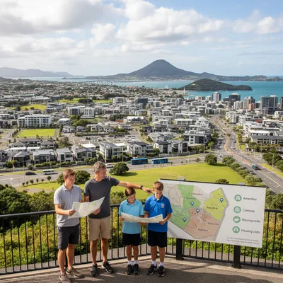
Tauranga is one of those places where you can finish work, chuck on your shoes and be in native bush or on a coastal path in minutes. The best part is the variety. There are flat, pram-friendly boardwalks around wetlands, short and steep climbs to big views, and proper backcountry-feeling day walks in the Kaimai ranges.
This guide rounds up 10 local favourites that cover the full spectrum, from easy family strolls to longer, fitness-building hikes. For each walk we’ve included an at-a-glance difficulty, typical duration, what to expect, where to start, and where to find a reliable map.
Before you go: Track conditions change quickly after rain and storms, particularly in the Kaimai Mamaku Conservation Park and around Karangahake Gorge. For bigger outings, check Department of Conservation (DOC) alerts first. You can find current notices for the Kaimai Mamaku Conservation Park on the official DOC page: doc.govt.nz.
If you’re walking near the coast, it’s also worth knowing your hazard zones and evacuation routes. Tauranga’s latest tsunami mapping and updates are covered in our explainer Bay of Plenty tsunami zones shift as new maps released.
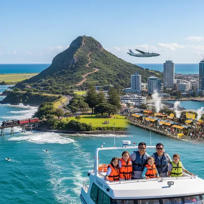
Best short walk with big views: Mauao (Mount Maunganui) base track and summit
Why it’s a must-do: It’s iconic for a reason. You can keep it easy with the mostly flat base loop, or earn the panoramic payoff by heading to the summit. Sunrise and sunset walks are Tauranga staples, and on Anzac Day the Mount becomes a gathering place for locals and visitors.
Start point: Main Beach side, Marine Parade, Mount Maunganui. Most people begin near the Mount Maunganui Surf Club (200 Marine Parade, Mount Maunganui) and follow signs.
Distance and time: Base track is about 3.4km, allow 45 to 60 minutes at a steady pace. Summit return varies by route and stops, many walkers allow 60 to 90 minutes.
Difficulty: Base track easy. Summit moderate due to stairs and steep sections. Good shoes help, especially after rain.
Track notes: The summit has multiple routes, including stairs and more technical steps. Be courteous on narrow sections and keep left. There are toilets and water nearby in town, but not on the track itself.
Map: Use the AllTrails map for route options and elevation profiles: AllTrails Tauranga walking trails.
Practical detail: Free, open daily. Go early on weekends to avoid congestion. If you’re walking at dawn for commemorations, our coverage gives a sense of the crowds and conditions: Thousands gather at Mount Maunganui for Anzac dawn service.
Best family loop with boardwalks: Waikareao Estuary walkway loop
Why it’s a must-do: A classic “any day” walk that works for prams, runners and casual strolls. The loop hugs the Waikareao Estuary with long stretches of boardwalk, birdlife and wide harbour views.
Start point: Multiple entry points around the estuary. Common starts include The Strand waterfront end and the Chapel Street area. Parking is available near access points, but it fills up during peak times.
Distance and time: AllTrails lists it at about 8.7km (5.4 miles), allow 2 to 2.5 hours walking, less if you’re jogging.
Difficulty: Moderate mainly for length, the terrain is mostly flat on gravel and boardwalk.
Track notes: This is a shared path, expect cyclists. In summer, take a hat and water, there’s little shade on some sections. Early morning is best for birdwatching.
Map: Waikareao Estuary walkway loop on AllTrails.
Practical detail: Free, open daily. If you’re new to town and choosing where to live for easy access to paths like this, see our guide Moving to Tauranga: a guide to the best suburbs in 2026.
Best waterfall walk close to town: Ōmanawa Falls Track
Why it’s a must-do: A short, well-built bush track to one of the region’s most impressive waterfalls. It’s a quick hit of native forest, boardwalks and stairs, with viewing platforms that make it accessible for most reasonably fit walkers.
Start point: Ōmanawa Falls car park off Ōmanawa Road, Tauranga (follow signage once you’re on Ōmanawa Rd). Allow about 25 to 30 minutes’ drive from central Tauranga depending on traffic.
Distance and time: AllTrails lists 2.1km return (1.3 miles), allow 30 minutes to 1 hour.
Difficulty: Moderate due to steps.
Track notes: The walk includes “heaps of steps”, so expect a cardio burst. Stay on the formed track and use the platforms. Water levels and spray can make surfaces slippery.
Hours (per AllTrails listing): Open 8am to 7.30pm in summer, and 8am to 5.30pm in winter.
Map: Ōmanawa Falls Track on AllTrails.
Practical detail: Free. Take insect repellent in warmer months.
Best easy lakeside walk: McLaren Falls circular walk
Why it’s a must-do: Shaded parkland, lake views and the sound of a waterfall, all on a mostly flat loop. McLaren Falls Park is also great for picnics and post-walk swims when conditions suit.
Start point: McLaren Falls Park, off McLaren Falls Road, Omanawa. The park is around 15 to 20 minutes’ drive from Tauranga CBD.
Distance and time: AllTrails lists 5km (3.1 miles), allow 1.5 to 2 hours. Difficulty: Easy.
Track notes: Mostly flat with frequent water views. After heavy rain, some sections can be muddy. Stay alert for cyclists and runners near popular access points.
Map: McLaren Falls circular walk on AllTrails.
Practical detail: The wider park includes toilets and parking at key trailheads. Free entry for day visitors, check signage for any seasonal restrictions.
Best glowworm spot: McLaren Falls waterfall track (night-friendly option)
Why it’s a must-do: A short bush walk to a viewing platform over the falls, with glowworms known to appear along parts of the track. It’s a good add-on to the circular lake walk if you want a shorter out-and-back.
Start point: McLaren Falls Park trailhead car park with public toilets (follow internal park signage to the Waterfall Track).
Distance and time: AllTrails lists 1km return (0.6 miles), allow 30 minutes to 1 hour depending on stops.
Difficulty: Moderate for footing, one side is more accessible and the other can be muddy and rough.
Track notes: If you’re going near dusk, take a torch or headlamp and walk carefully. Glowworms are best seen in darker conditions, avoid shining lights directly on them.
Map: Waterfall Track (McLaren Falls) on AllTrails.
Practical detail: Free. Good option for visitors who want a quick nature walk without a big climb.
Best Kaimai bush loop near Tauranga: Ngamuwahine loop track
Why it’s a must-do: When you want a true “in the bush” walk without committing to an all-day mission, Ngamuwahine delivers. You’ll follow a stream through dense forest with rooty sections and the sort of cool shade that makes the Kaimais so restorative.
Start point: End of Ngamuwahine Road, near Ngamuwahine Outdoor Education Lodge (Kaimai Mamaku Conservation Park). This is on the western side of Tauranga, plan your drive and allow extra time on narrow rural roads.
Distance and time: AllTrails lists 6.3km (3.9 miles). Duration varies with conditions, allow 2 to 3 hours for most walkers.
Difficulty: Moderate. Rooty tread and some steep bits.
Track notes: After rain it can be slick, gaiters are handy. The stream is popular with trout fishers, licences are required for fishing.
Map: Ngamuwahine loop track on AllTrails.
Practical detail: Free. Cell coverage can be patchy, download your map before you go.
Best longer half-day hike: Henderson Tramline loop track (Kaimai ranges)
Why it’s a must-do: This is a satisfying, longer Kaimai walk with stream crossings and little waterfalls. It feels adventurous without being technical, but you’ll want decent fitness and some confidence with uneven ground.
Start point: Kaimai area trailhead as per the AllTrails directions for Henderson Tramline. Double-check your route before leaving, as some paths can be unclear.
Distance and time: AllTrails lists 11.6km (7.2 miles), allow 3 to 3.5 hours. Difficulty: Moderate.
Track notes: Expect several stream crossings, so pack a spare pair of socks. Keep an eye out for orange markers where the line is less obvious.
Map: Henderson Tramline loop track on AllTrails.
Practical detail: Free. Avoid after heavy rain if streams are up.
Best city-side nature walk: Te Puna Quarry Park tracks and lookouts
Why it’s a must-do: Te Puna Quarry Park is a locals’ favourite for a choose-your-own-adventure walk. You can stitch together short loops, climb to viewpoints, and wander past sculptures and gardens, all in a community-run park that feels miles from the city.
Start point: Te Puna Quarry Park, 500 Te Puna Road, Te Puna. It’s about 20 minutes from Tauranga CBD depending on traffic.
Distance and time: Variable. Many visitors spend 45 minutes to 2 hours exploring, depending on how many tracks you link.
Difficulty: Easy to moderate. Some tracks are steep, others are gentle.
Track notes: Because it’s a network, it’s ideal for mixed groups, you can split into shorter and longer options and regroup at lookouts. Take water in summer, the exposed quarry faces can get warm.
Map: Check the park’s information boards on arrival, and use Tauranga City Council’s walkways hub for wider local walkway planning: tauranga.govt.nz walkways.
Practical detail: Free. Daylight hours, no gates, but walk with care in wet weather.
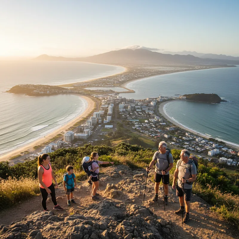
Best day trip hike from Tauranga: Mount Te Aroha summit track
Why it’s a must-do: If you want a proper climb with a summit objective, Mount Te Aroha is the classic. At 952m it’s the highest peak in the Kaimai-Mamaku area, and on a clear day the views reach across Waikato and back toward the Bay of Plenty.
Start point: Te Aroha township trailheads (follow AllTrails directions for the Te Aroha Summit Track). It’s roughly an hour’s drive from Tauranga depending on where you start.
Distance and time: AllTrails lists 8.5km (5.3 miles). Most walkers allow 3.5 to 5 hours return, longer with breaks.
Difficulty: Hard, steep for much of the way, with very steep sections near the top. Slippery rocks after rain.
Track notes: Take layers even in summer, wind can cut across the top. Start early to avoid heat on the climb and to give yourself a buffer if weather turns.
Map: Te Aroha Summit Track on AllTrails.
Practical detail: Free. This is a good option when you’re itching for a bigger walk but don’t want an overnight.
Best rainy-day tunnel adventure (check closures): Karangahake Windows Walk
Why it’s a must-do: Tunnels, old gold mining relics, suspension bridges and glowworms, it’s one of the most entertaining short walks in the wider Tauranga orbit. It’s also a great option when you want shelter from light rain, because a good chunk is in or beside the gorge.
Start point: Karangahake Gorge car park near the swing bridge, State Highway 2 (between Waihi and Paeroa). It’s about 55 to 70 minutes from Tauranga depending on traffic.
Distance and time: AllTrails lists 2.4km (1.5 miles), allow 30 minutes to 1 hour. Difficulty: Easy.
Track notes and alerts: Bring a torch for tunnels. DOC notes the Crown Tramway Track that forms the loop via Windows Walk has had a long-term closure due to slips, and the Windows Walk may require returning the way you came through the tunnel. Always check current DOC alerts before you go. For a guide to some of New Zealand’s most popular walks, see A beginner’s guide to conquering New Zealand’s 10 Great Walks.
Map: Karangahake Windows Walk on AllTrails and DOC alerts for the area: Kaimai Mamaku Conservation Park alerts.
Practical detail: Free. Leave extra time on weekends, the car park can fill quickly in holiday periods.
Local safety note: If you’re driving out of Tauranga for walks, take the conditions seriously on the main routes. We’ve previously reported on serious incidents on SH29, a key link between Tauranga and the Waikato: One dead after truck and car collide on SH29.
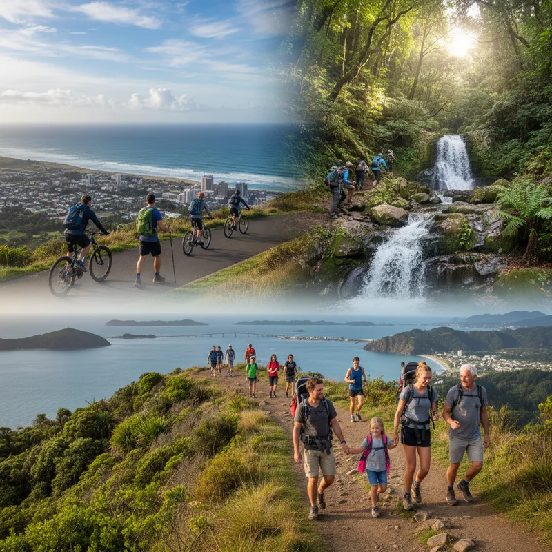
How to choose the right Tauranga walk for your fitness and the weather
If you’re short on time: Pick Mauao’s base track or Ōmanawa Falls for a 60-minute window.
If you’re walking with kids: Waikareao Estuary is flat and flexible, McLaren Falls has picnic spots and toilets.
If it’s been raining: Expect muddy, rooty tracks in the Kaimais. Choose boardwalk-heavy routes like Waikareao, or postpone longer bush walks if slips are likely.
If you want a training hike: Te Aroha summit is the best leg-burner in this list, Henderson Tramline is a solid half-day.
Maps and navigation: Download your route in AllTrails before leaving home, or carry a paper map for longer Kaimai walks. Battery and reception can be unreliable.
Track respect: Stick to formed paths, keep dogs under control where allowed, and pack out rubbish. Tauranga’s green spaces are heavily used, good habits keep them open and enjoyable.
For a broader list of local walkways and links into parks, Tauranga City Council maintains a starting point here: tauranga.govt.nz walkways. For visitor inspiration beyond the city boundaries, Bay of Plenty tourism also has a round-up of regional tracks: bayofplentynz.com.
Cross-site read: If you’re planning day walks with younger kids, this nearby playground guide is handy for “walk then play” planning: Willowbank's best playgrounds: a 2026 parent’s guide.