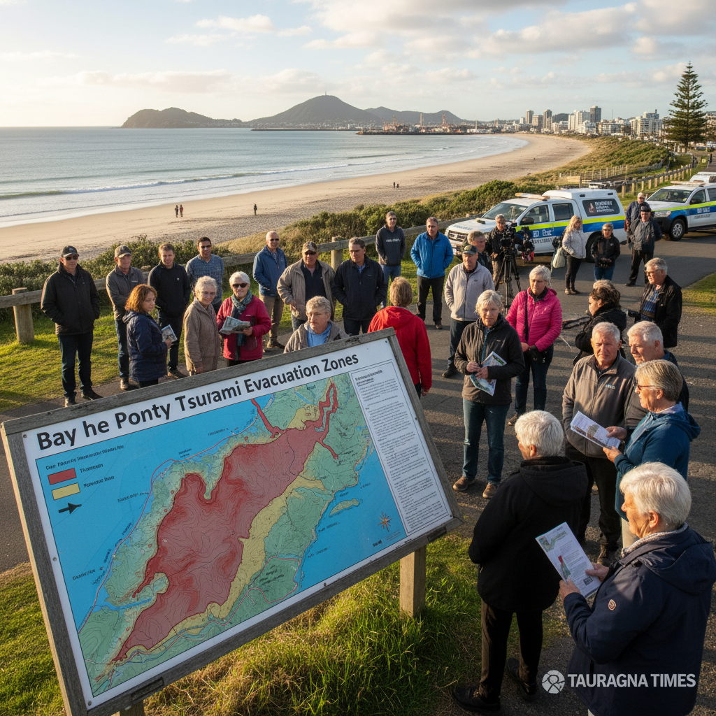
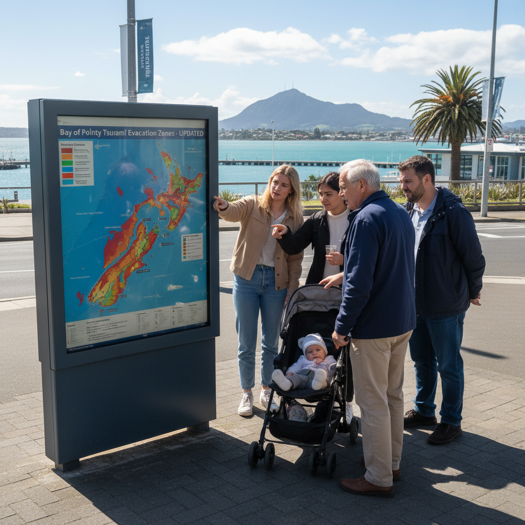
Tsunami evacuation maps across the coastal Bay of Plenty have been updated, revealing significant changes that have expanded some safety zones further inland while reducing others.
The revised maps, which were released on Monday, are the result of updated tsunami modelling from Earth Sciences New Zealand. The project was a collaboration between Emergency Management Bay of Plenty, the Bay of Plenty Regional Council, and local councils in the region.
Officials are urging all residents in coastal areas to familiarise themselves with the new maps, as the changes could affect their household's emergency plan and evacuation route. The updates reflect a deeper scientific understanding of how a tsunami might impact the region's unique combination of coastal and river environments.
How the zones have changed
The impact of the new modelling varies significantly from one community to another. At Waihī Beach, a popular destination for locals and tourists, the tsunami evacuation zone has been expanded further inland across several parts of the town. This means some residents and visitors will need to travel a greater distance to reach a safe area in the event of a tsunami warning.
In contrast, parts of the evacuation zones in Katikati and Ōmokoroa have been reduced. While this means fewer households are now within the mandatory evacuation area, authorities stress that all coastal residents should remain vigilant and prepared.
Changes across Tauranga city have been described as generally more incremental, but there are notable shifts in certain suburbs. In Ōtūmoetai, the evacuation zone has been extended to cover more low-lying areas. This includes land surrounding the Woolworths supermarket and the local golf club, which are now officially within the area requiring evacuation.
For those in Mount Maunganui, official advice is to evacuate to high ground at Mount Drury or head inland to Blake Park or the Bay Oval. Mauao remains closed for tsunami evacuation purposes due to existing landslide damage, a detail of particular importance to the thousands who frequent the area. For more on what makes the area a hub of activity, see the ultimate guide to Tauranga.
The science behind the shift
The new maps are based on the latest scientific modelling, which provides a more sophisticated prediction of how tsunami waves could behave. Bay of Plenty emergency management planning senior adviser Kieran Miller said the changes reflect improved science and analysis.
A key factor in the update is the way evacuation zones now follow river and stream pathways further inland. Miller highlighted the Wairoa, Waimapu, and Kaituna rivers as prominent examples of this change, as a tsunami surge could travel upstream and flood adjacent low-lying land.
The modelling incorporates complex data points, including ocean and harbour bathymetry, which is the mapping of underwater depths. It also considers coastal and inland topography, potential tsunami source locations, and wave dynamics. Miller said that beyond the raw data, practical considerations, such as whether people could safely and practically evacuate to certain locations, also influenced the final zone boundaries.
"Our understanding of tsunami behaviour and our environment continues to improve, and the technology used for modelling is constantly being refined based on the latest research," Miller said. "All of that influences the evacuation zones we set."
What residents need to do
With the new maps now public, the focus shifts to community preparedness. Emergency Management Bay of Plenty is in the process of updating more than 150 tsunami evacuation signboards across the region to align with the new zones.
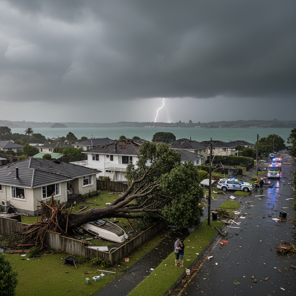
These maps replace the versions introduced in 2023, when the region moved from a multi-coloured system (red, orange, and yellow zones) to a single "blue zone" that clearly defines the entire area that must be evacuated in any tsunami event. The region’s vulnerability to natural disasters highlights the importance of such planning, as seen during other recent weather events like the Welcome Bay tornado. As cities grow, the pressure on emergency services also increases, a challenge being addressed in other centres like Hamilton, where leaders are demanding more resources to match population growth. Meanwhile, similar large gatherings show the importance of local infrastructure, as the Hamilton tattoo expo drew thousands of enthusiasts.
In an emergency, any means of evacuation that doesn’t add to traffic congestion should be considered, including walking or cycling where possible.
Check your address and make a plan
Emergency Management Bay of Plenty regional manager Jono Gracie urged all residents to study the updated maps and ensure they understand what the changes mean for their household or workplace.
He stressed that in the event of a locally generated tsunami, which could be triggered by an earthquake just off the coast, there may be no time for an official warning. In such a scenario, natural warning signs are the most important signal to evacuate immediately.
"If an earthquake is long or strong, get gone," Gracie says. He added that other natural signs include sudden and unusual changes in sea level or loud and strange noises from the ocean.
Gracie advised residents to create a household evacuation plan that includes the updated information and to practice their tsunami hīkoi, or evacuation route, on foot. He noted that walking or cycling may be the most effective way to evacuate, as roads are likely to be congested. All updated maps and preparedness advice are available on the Bay of Plenty Civil Defence website.